Serving Gogebic, Iron and Ontonagon Counties
Serving Gogebic, Iron and Ontonagon Counties
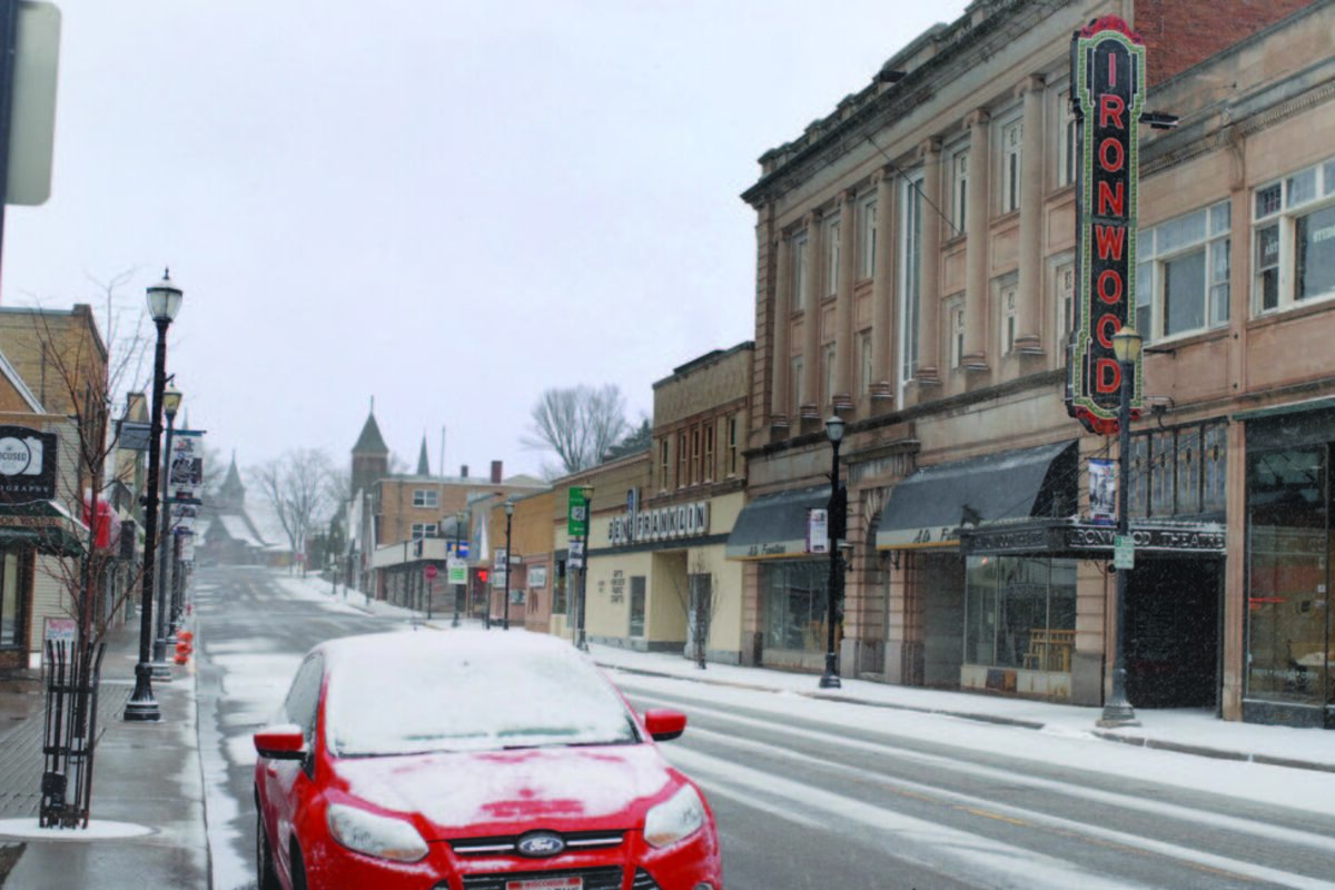
SLEET FALLS over downtown Ironwood Tuesday evening. Winter is yet to be over in the Upper Penninsula. The active streets that were once seen this weekend during the temperature spike are now baren.
IRONWOOD - The colder temperatures that replaced last week's warm weather can be expected to remain for the next several days, according the National Weather Service office in Marquette, although temperatures are expected to slowly rise to a high of 52 degrees on Tuesday.
Thursday's high is expected to be around 39 degrees, with a high of 42 and 46 expected on Friday and Saturday, respectively. The thermometer is predicted to top out at 50 degrees on Sunday before dropping to 49 on Monday and then rising to the six-day high of 52 degrees on Tuesday, according to information on the NWS website.
Night-time temperature drops are also expected, according to NWS data, with Thursday night's 22 degrees being the coldest expected temperature and a low of 34 for Sunday and Monday being the warmest night-time temperature.
Along with the colder weather, more snow remains a possibility according to NWS date, with an additional 1 to 2.5 inches of wet snow expected to accumulate by Thursday. The NWS urges drivers take the wet snow and slush into consideration when traveling and allow extra time to reach their destinations. Should snow come Thursday - the NWS puts the chance of snow at 30 percent - it is expected to arrive prior to 10 a.m.
For more information, visit weather.gov.