Serving Gogebic, Iron and Ontonagon Counties
Serving Gogebic, Iron and Ontonagon Counties
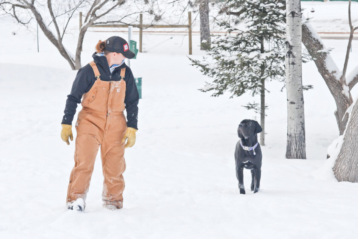
The National Weather Service is forecasting a deep freeze for the region in the coming days with high winds creating double-digit sub-zero windchills and blowing snow.
The forecast calls for periods of snow showers here today, with accumulations of 1 to 2 inches possible, but Ryan Connelly of the NWS office in Marquette said it’s not so much the amount of snow as the wind that could cause some problems. Blustery winds out of the northwest from 15 to 20 mph will blow the dry snow around and reduce visibility.
Temperatures will fall through the day today to a forecasted minus 7 by early evening. Wind chills will measure between minus 15 and minus 25.
Overnight, clouds and light snow showers are predicted with a low around minus 18. Wind chills will dip between minus 30 and minus 35 as west winds could gust as much as 20 mph.
Another inch of snow is predicted continuing into Friday morning.
Friday’s forecast is partly sunny and cold, with a high near minus 5 and more of those west winds at 5 to 10 mph.
Connelly said wind chills through the day could reach minus 20, and colder closer Lake Superior.
Friday night’s low is again forecasted to reach minus 18. It will be mostly cloudy with a slight chance of precipitation.
The cold is predicted to remain through the coming days, with a high on Saturday near 3 degrees and a low that night around minus 10. Similar temperatures are forecast for Sunday (high 2, low minus 8) and Monday (high 10, low minus 8).
—Larry Holcombe